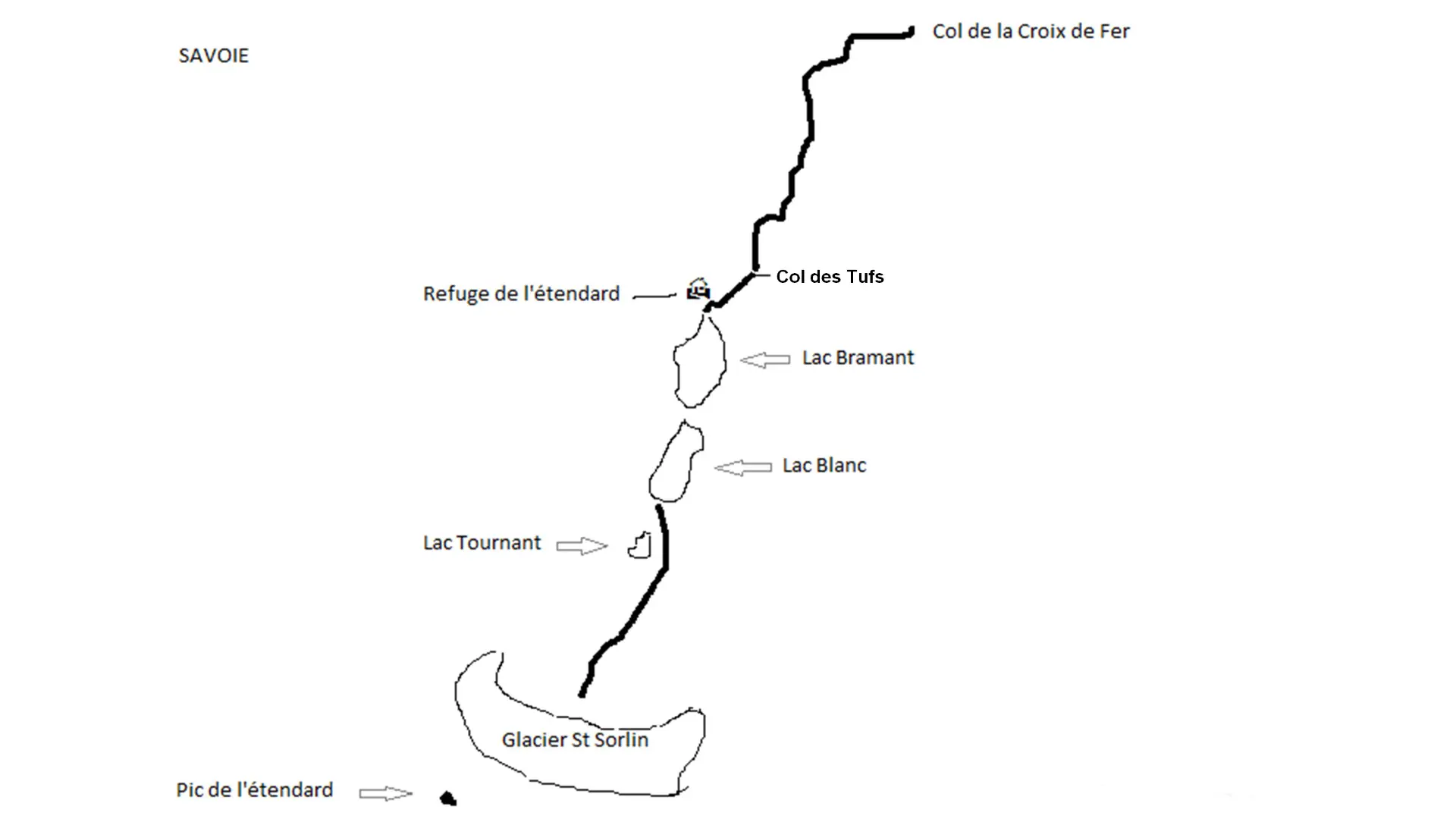
St Sorlin Glacier
Welcome to the hike from the Croix de Fer pass to the St Sorlin glacier
The hiking trail begins at the Col de la Croix de Fer, accessible from Savoie via Saint-Jean-de-Maurienne and Saint-Jean-d’Arves or Saint-Étienne-de-Cuines via the Col du Glandon, as well as from Isère via Allemont/Le Rivier d’Allemont. This route begins at an altitude of 2064 meters at the Col de la Croix de Fer, then climbs to the Col des Tufs at an altitude of 2520 meters before descending slightly to Lake Bramant at an altitude of 2430 meters. The walk continues with Lake Blanc at an altitude of 2473 meters before heading towards the Saint-Sorlin glacier, where you will reach its foot at an altitude of approximately 2650 meters. The total elevation gain for this hike is 766 meters, taking into account the slight descent from the Col des Tufs to Lake Bramant and the ascent on the way back.

